Mixed Reality App
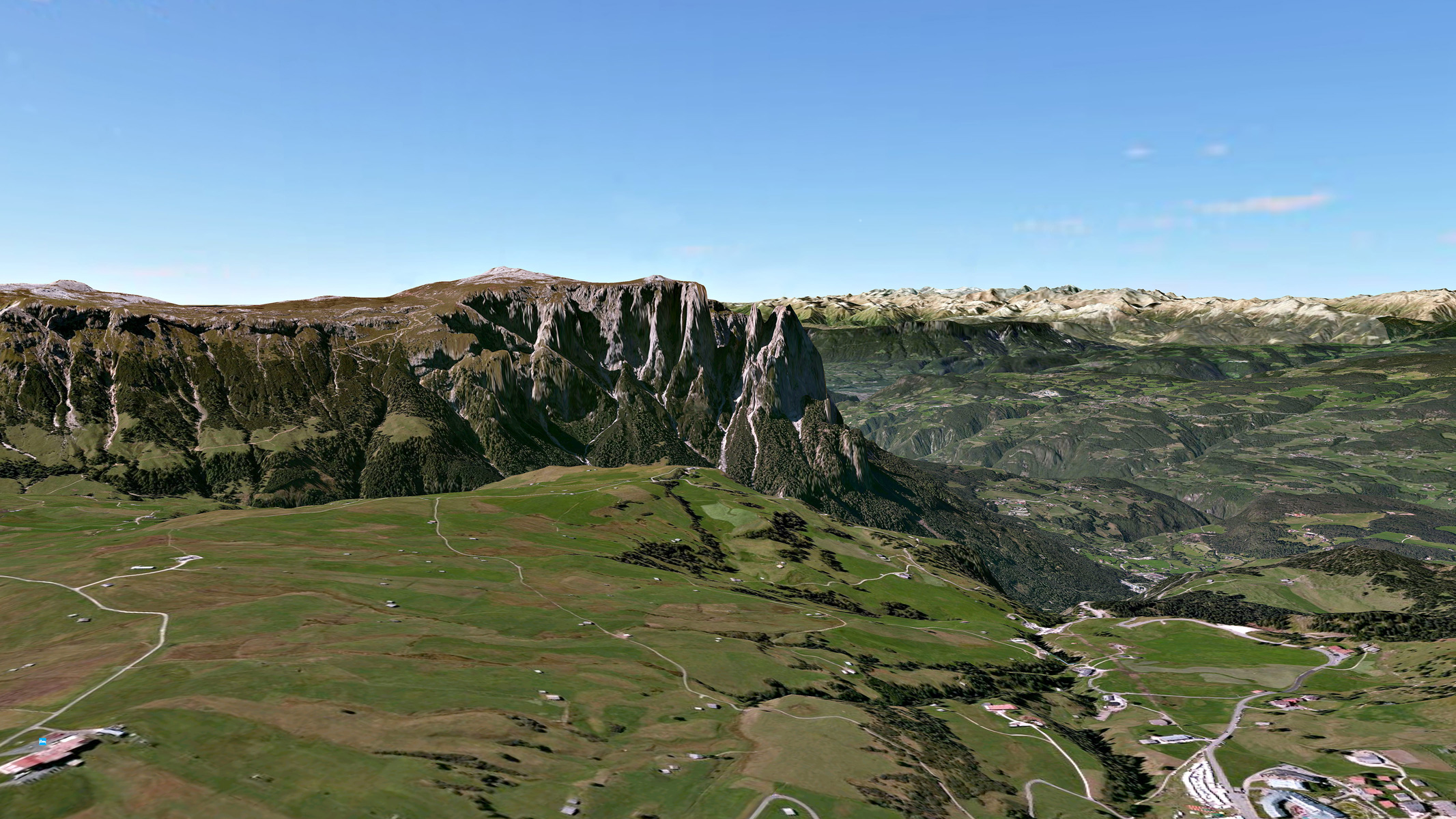
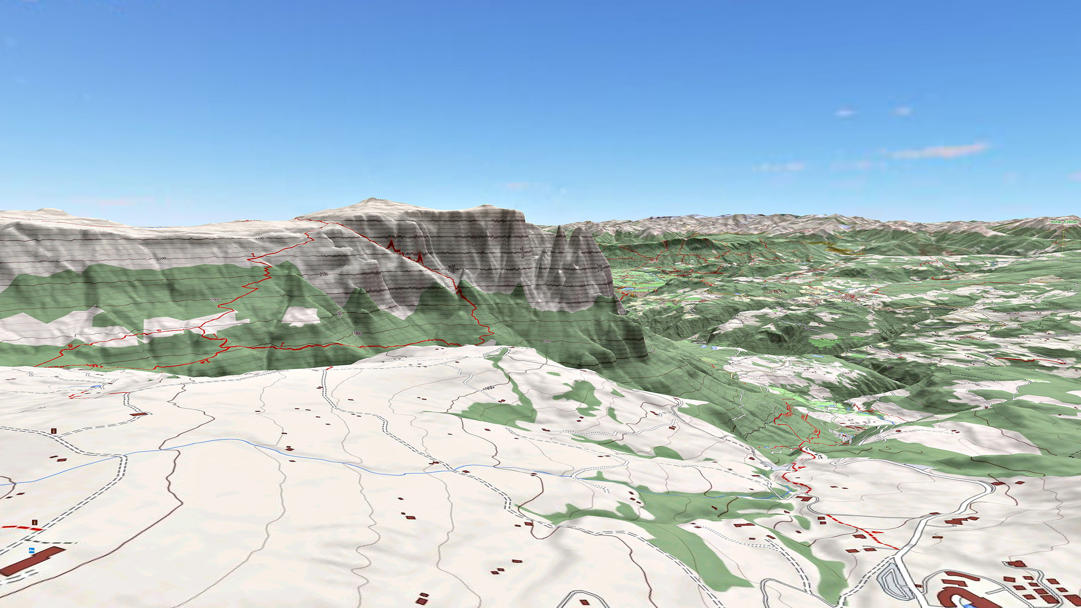
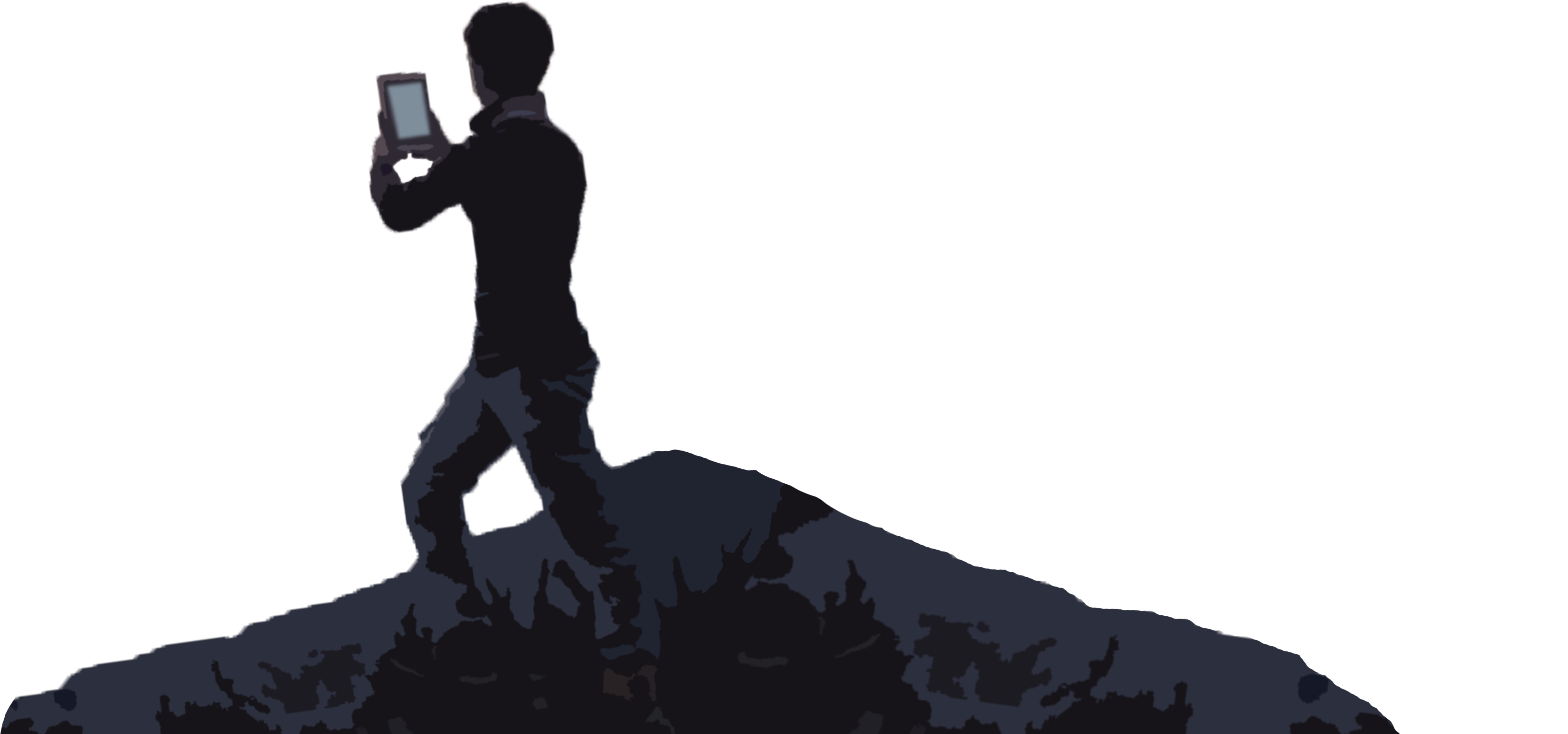
Thanks to our technologies we realize Mixed Reality (MR) applications: the external world captured by the device’s camera is enriched not only with geo-referenced information useful for the user, but also with virtual elements (eg: 3D terrain model) that can be overlapped with respect to the actual image provided by the camera.
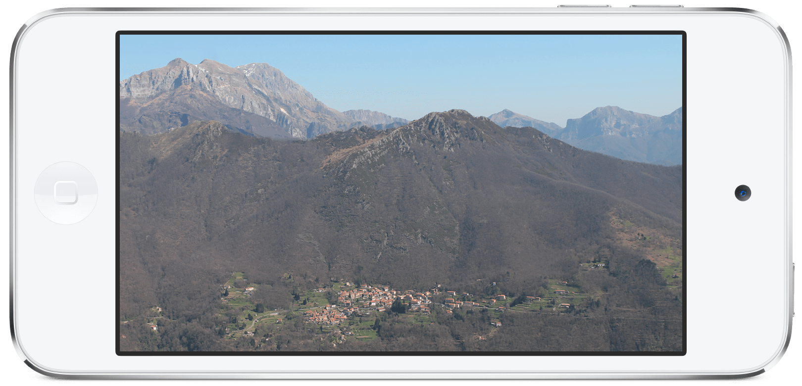
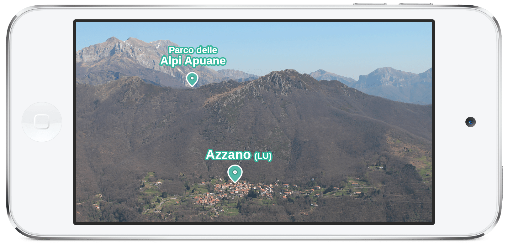
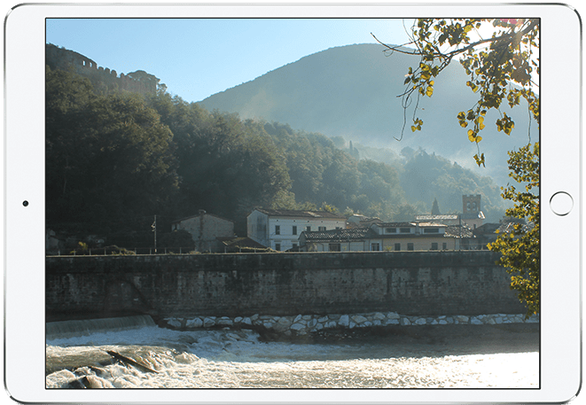
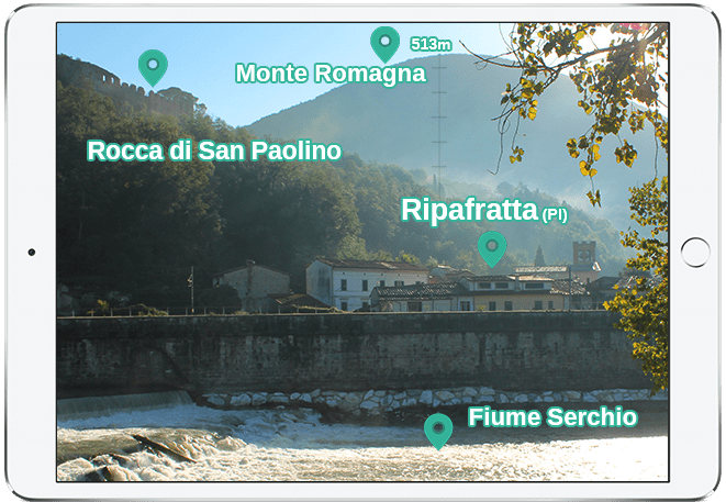
From our topographic map gCARTA, to the cadastral boundaries of properties, from building models, to markers indicating specific places, within our MR applications we can introduce virtual objects of different kinds, according to the customer’s requirements, starting from the provided data.
Custom MR applications can be provided with any back-end services with ad hoc functions, capable of acquiring geo-localized MR photos.
The areas in which our MR apps are applied, range from agriculture to tourism, from the enhancement of cultural heritage, to land management and control.


